Navi icon

Navi

Navi contributors
Maps & Navigation
Version
0.3.30-beta
Size
49.3 MB
Requires
Android API 26+
4.4 / 5 · 19,744 ratings 119,981 downloads

Updated Oct 19, 2026

Quick answer

Offline-first navigation with terrain-aware eco routing

Navi is an offline-first navigation app. Download map data once, then plan and follow routes on the device without needing the internet for every trip.

Before first use: Navi does not come with a ready-made routing database, unlike many commercial navigation devices whose maker ships precomputed maps. Open the Tools menu and use Download region to get your region. Navi then downloads the map data and builds its routing and search databases on the device. This takes about 5 to 22 minutes per region depending on its size, for example about 5 minutes for a small country like Luxembourg and 20 to 22 minutes for a large region like Østlandet on a mid-range tablet. Route planning does not work until this is finished.

Travel modes include car, bicycle, e-bike, hiking, motorcycle, truck, and motorhome. Optional vehicle size limits skip roads that are too tight. Avoidances cover motorways and fast expressways, tolls, and ferries.

Eco routing prefers gentler, less energy-hungry roads by taking hills into account. Hiking and cycling can optionally prefer marked long-distance and pilgrim-style trails, with normal paths used when a marked trail has a gap.

Download a region (OpenStreetMap extract), an offline basemap, and optional elevation/terrain data in Tools. A background indexing job builds compact routing packs so later plans are fast; you can still plan while indexing runs. Map updates are never silent — only when you ask.

On the road:

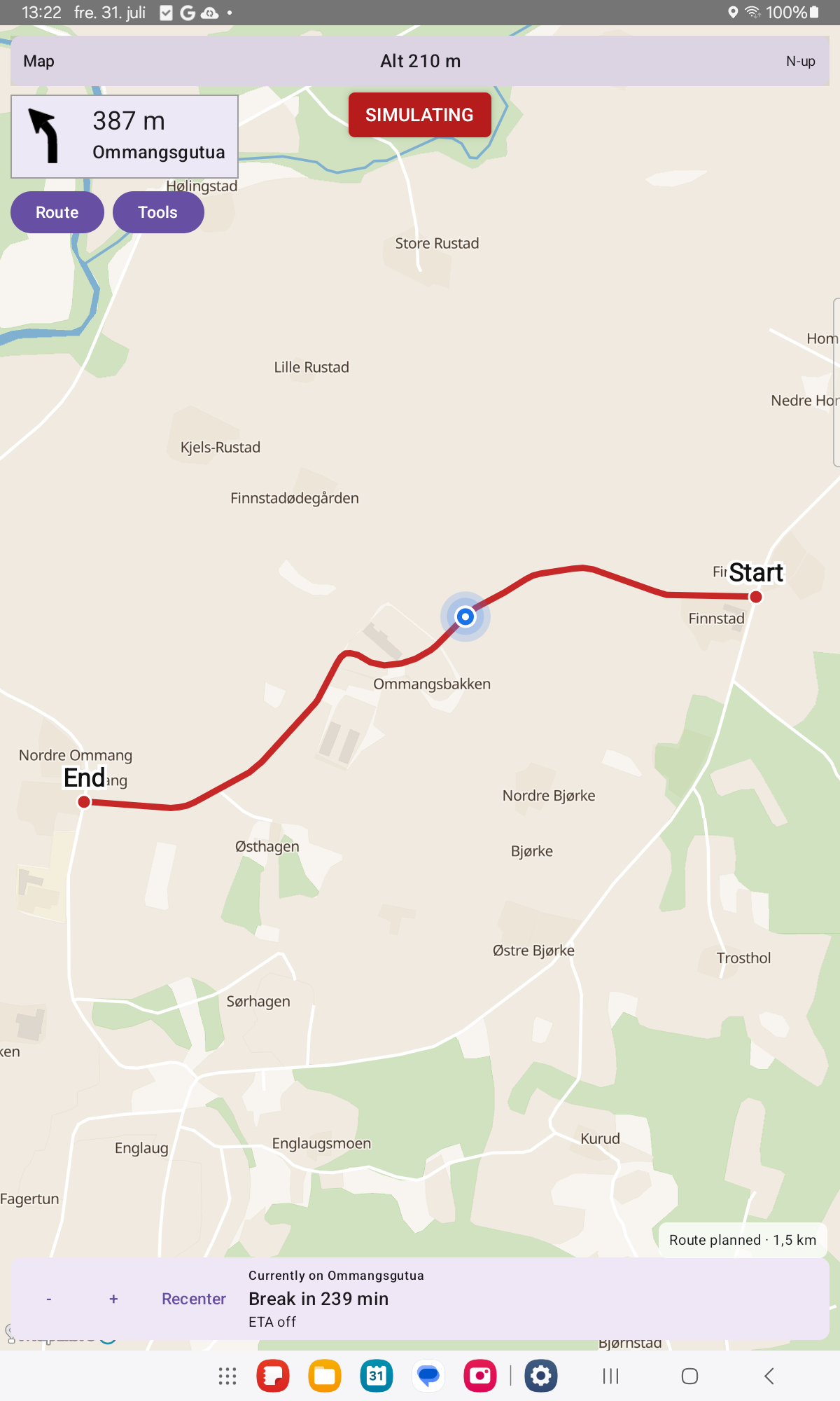
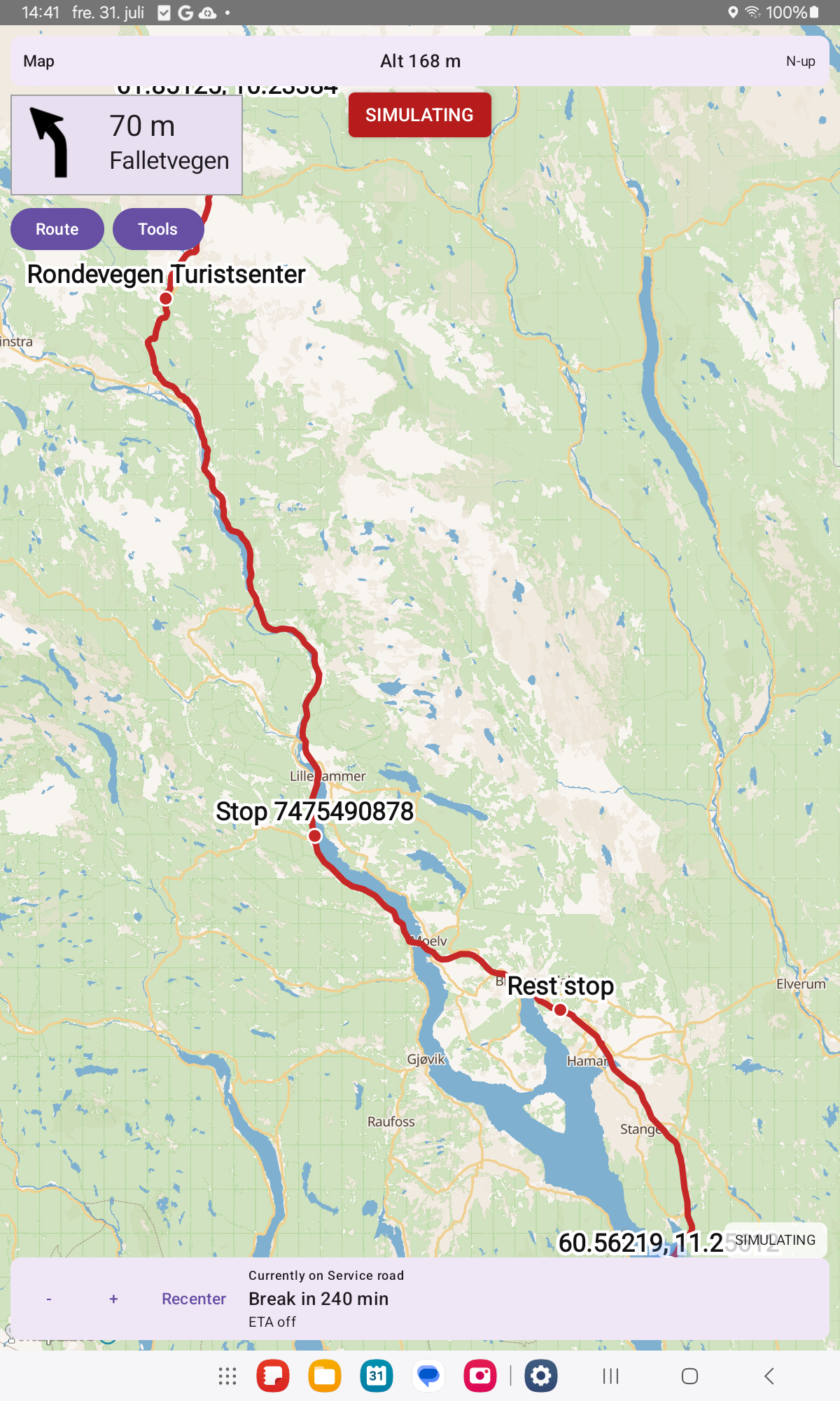
  • Place search, From / Via / To, GPS fill, map mark and saved places
  • Off-route detection and reroute
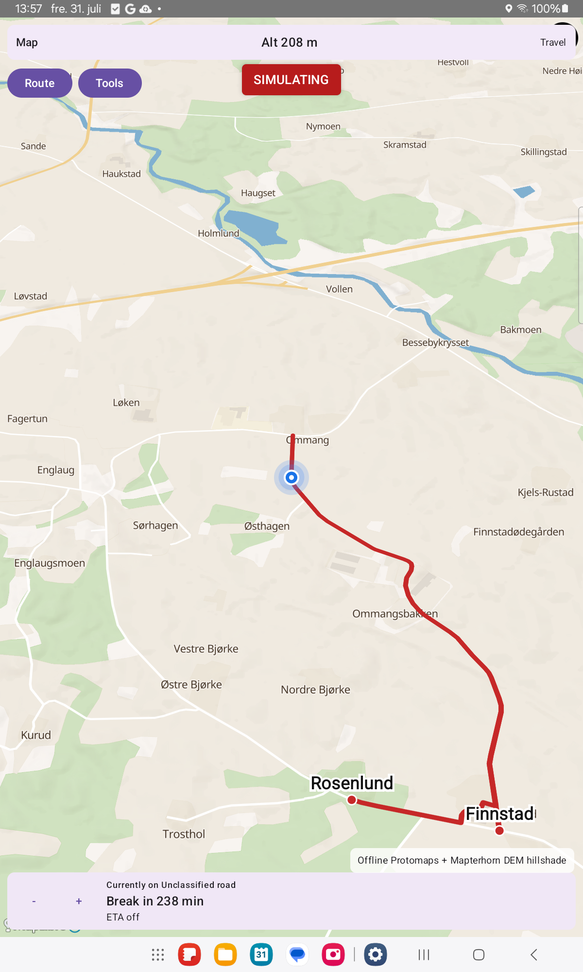
  • Break and rest suggestions, including truck driving-time rules where known
  • Drive bars with altitude and trip ETA
  • GPS follow, and north-up / compass / direction-of-travel map rotation
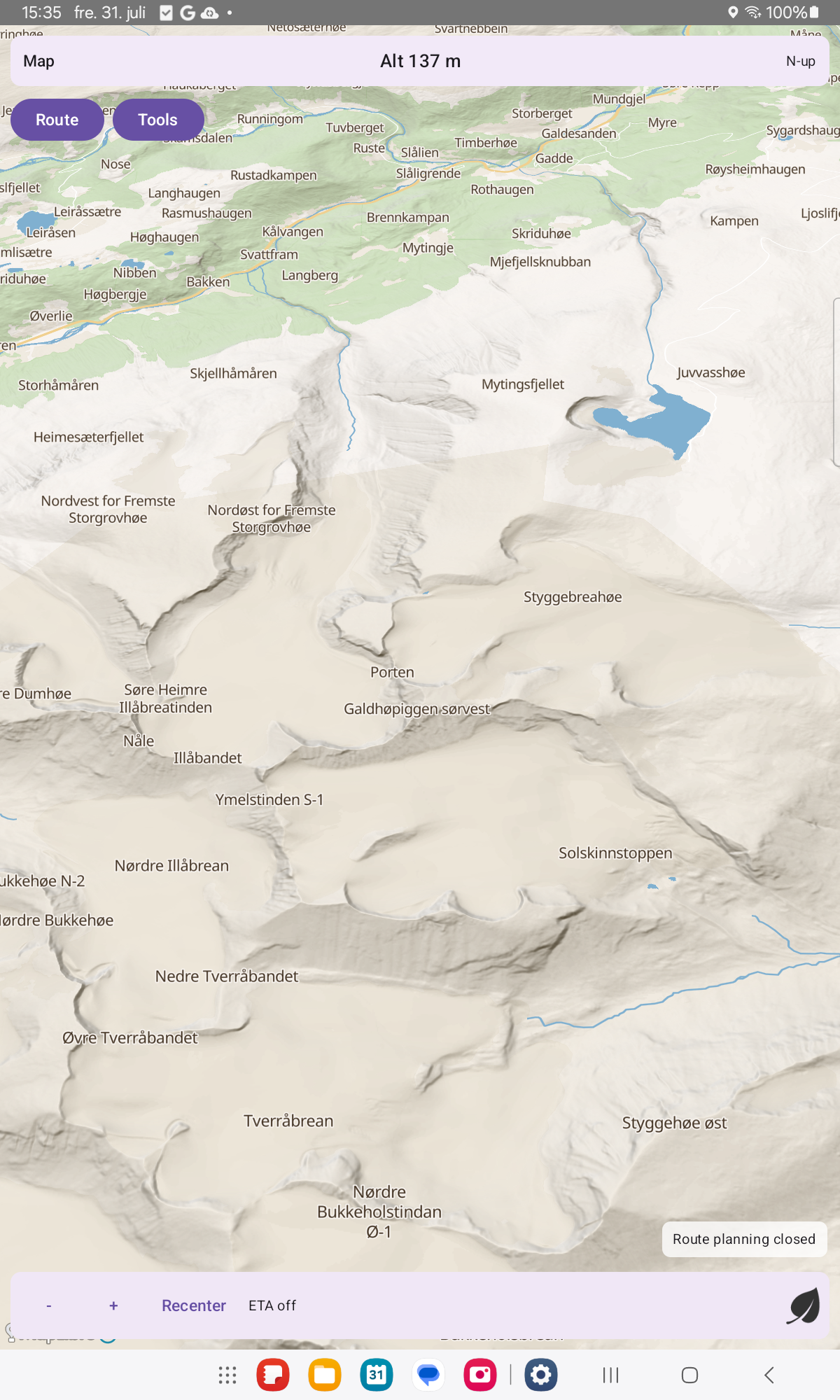
  • Optional experimental 3D hill shading and map tilt

Navi is free and open source (GPL-3.0-or-later). There are no ads and no tracking. Network use is for downloads and updates you choose — not for silent data collection.

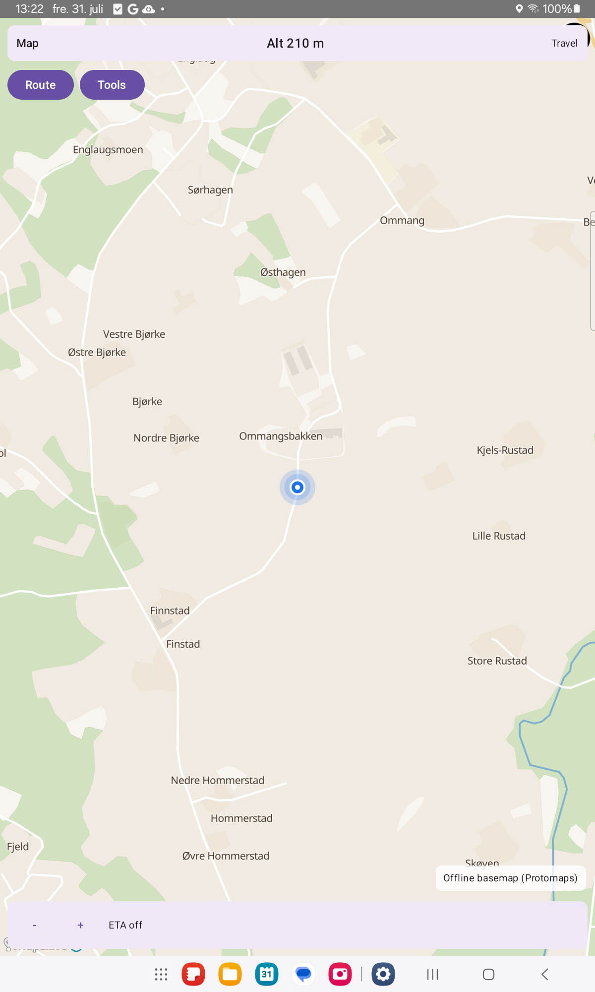
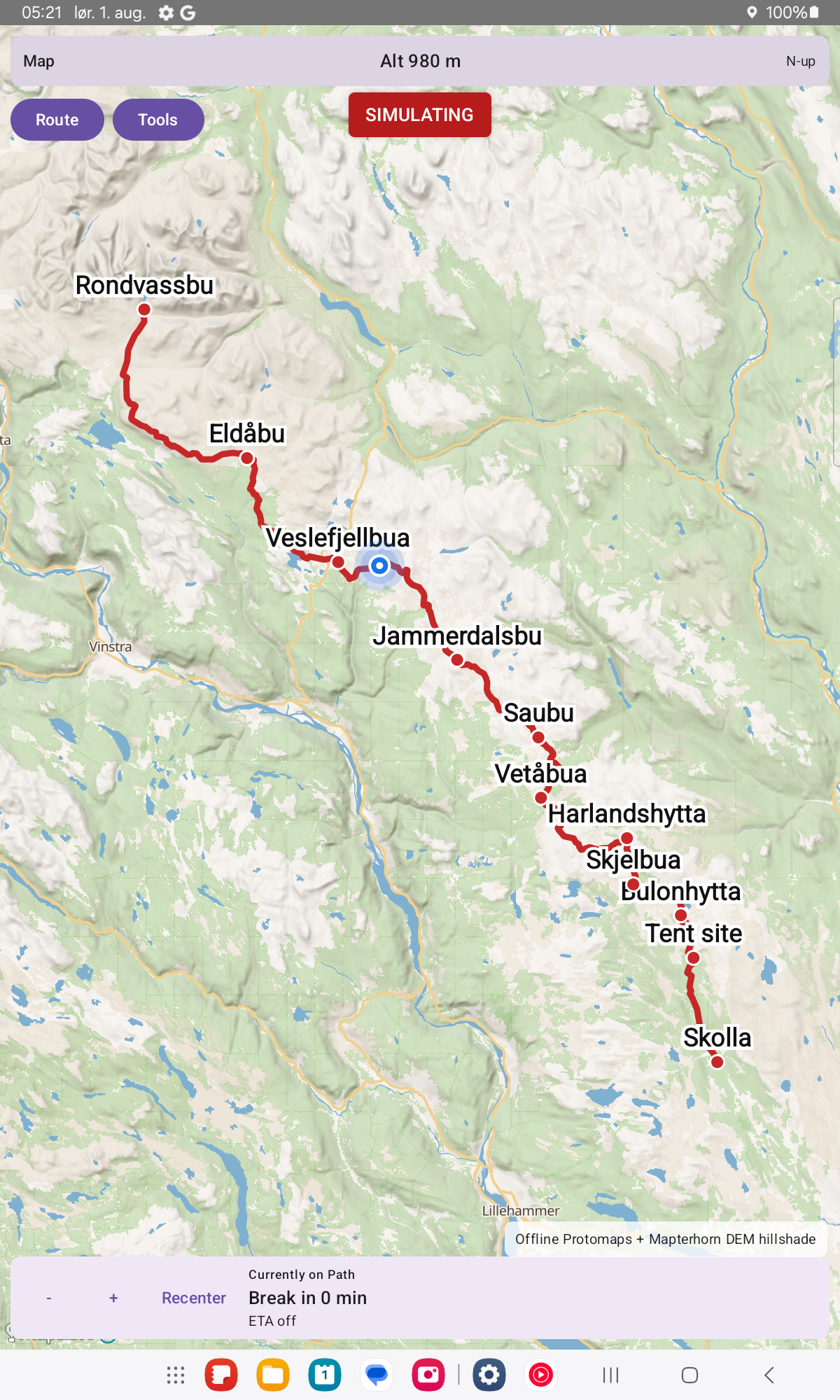
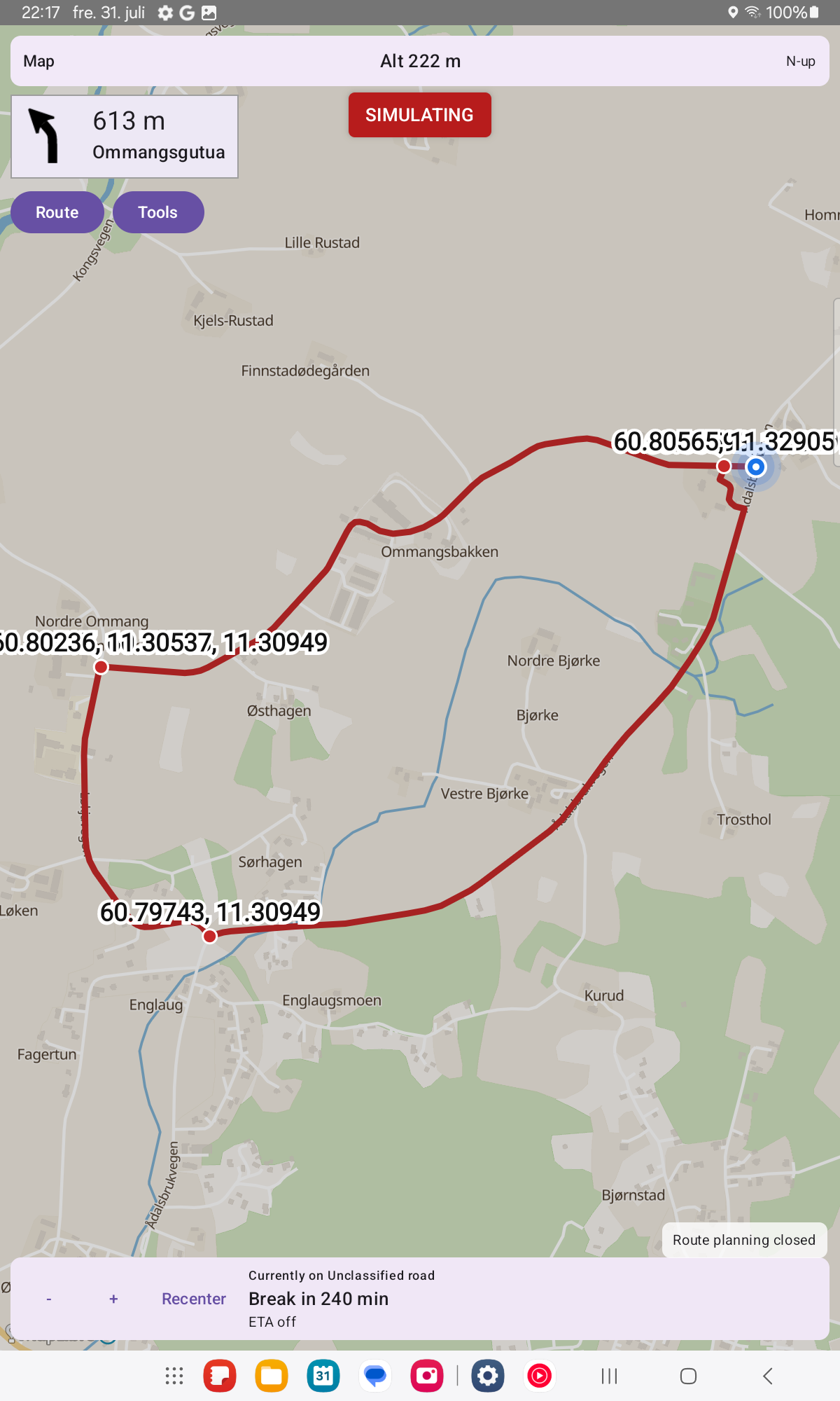
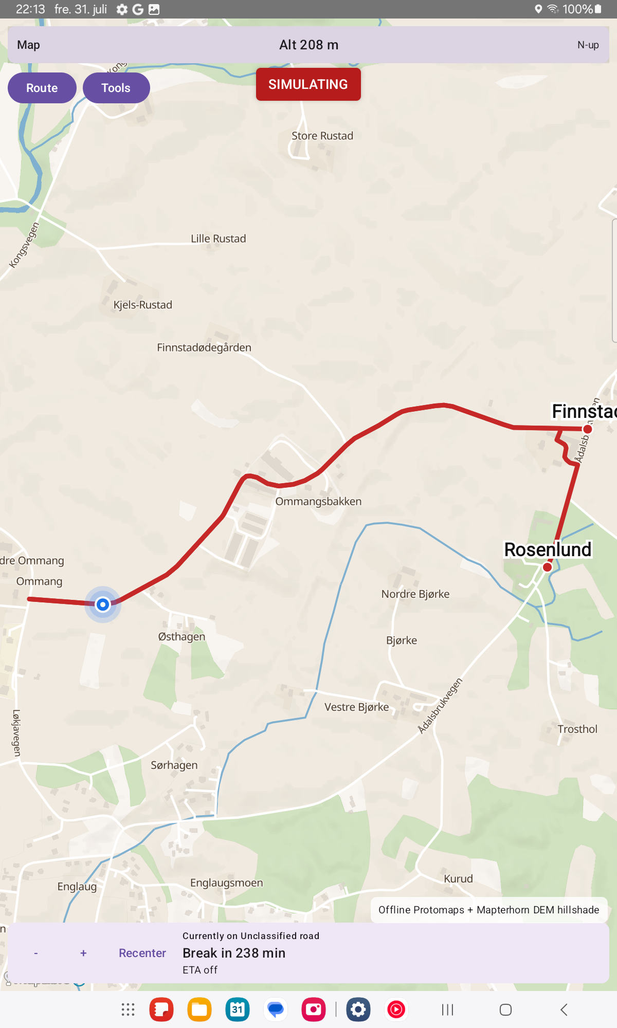
Screenshots

Navi screenshot 1
Navi screenshot 2
Navi screenshot 3
Navi screenshot 4
Navi screenshot 5
Navi screenshot 6
Navi screenshot 7
Navi screenshot 8

What’s new

Speed limit display no longer flickers on brief map gaps. Restored 3D terrain shading and elevation contour lines. Indexing progress percent is visible again during long downloads. Starting from GPS shows a readable address when online search is on.

How to install

  1. Download the APK from the button at the top of this page.
  2. Allow “Install unknown apps” for your browser or file manager only, not for every app.
  3. Open the downloaded file and confirm the installation.
  4. If installation fails with “App not installed,” remove an earlier build of the same app first. A signature conflict is the usual cause.

Data safety

  • Every file is checked against its published SHA-256 before it is listed.
  • Files are scanned for malware on every update.
  • The permissions each app requests are listed on its own page.
  • Read the full safety policy for how we test, flag, and delist files.

Frequently asked questions

What is Navi?
Offline-first navigation with terrain-aware eco routing
Who develops Navi?
Navi is developed by Navi contributors.
Which Android version does Navi require?
Navi requires Android API 26 or later.
What is the current version of Navi?
The synchronized F-Droid version is 0.3.29-beta.
Which license does Navi use?
The signed F-Droid metadata lists GPL-3.0-or-later.
Where is the source code for Navi?
https://github.com/Supermagnum/Navi

Comments

Recent approved comments · sorted by newest

Verification code
Be specific and keep it about the app. No links. Comments are reviewed before publication. Device and Android details are recorded automatically. Privacy policy.

Loading recent comments...

View all comments